


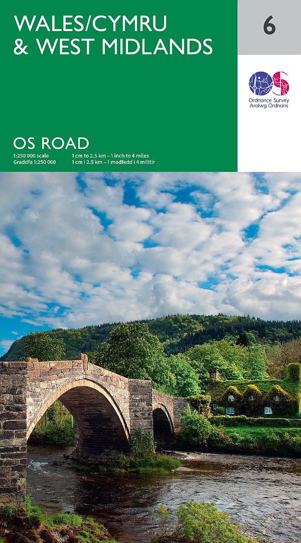
As a paid-up fan and user I was delighted to hear that Ordnance Survey’s (OS) iconic road map series OS Road have been relaunched after a seven-year hiatus. The eight map sheets, covering the whole of Great Britain, are back by popular demand and with a new twist that is aimed at helping tourists see even more of Britain.
For the first time the road maps, which also have a new look and design to their predecessors, will show designated beaches and National Parks visitor centres. They are also OS’s first maps to include the appearance of the Queensferry Crossing.
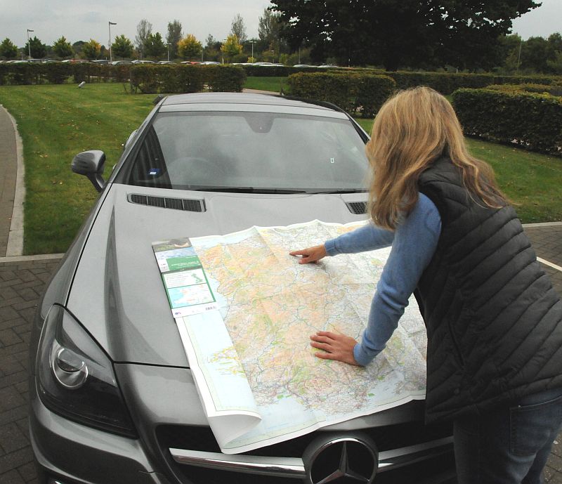
Nick Giles, Managing Director of Ordnance Survey Leisure, said: “Sat-navs and digital mapping are fantastic for getting road users from A to B, but they can be very restrictive when it comes to more leisurely driving and discovering something new. Since we last published OS Road, we have had a constant stream of customers telling us that the beauty of the road map is in laying it out on the table to study and plan with.
At a glance, information and new places to explore leap out. The maps make you very curious to learn about this country and see more of it. So due to the overwhelming interest to see them return, we decided the time was right to bring these handy glovebox-sized maps back.”
Since 2009 the number of ‘A’ and primary roads and Motorways in Britain has gone down, but the actual length of these roads has increased by 174 miles to 49,674 miles.
For the record the entire length of Britain’s road network is 215,940 miles. If you travelled at an average speed of 40mph, it would take 224 and a half days to drive every road in Great Britain.
If you were to attempt all of Britain’s roads at London’s average speed, 9mph, it would take you almost two-years and nine months to complete. In a driverless car, which has an average speed of 11mph, the journey would take just under two-years and three-months.
OS will be refreshing the OS Roads maps every two years. You can pre-order the maps here or visit www.os.uk ENDS.